Explore and AnalyzeReal Terrain in 3DTogether
Turn your own georeferenced field data and digital twins into a shared 3D space — explore and analyze it as a team, in VR or right on screen.
Trusted by research and industry teams






Bring your whole team into the same terrain, at the same time
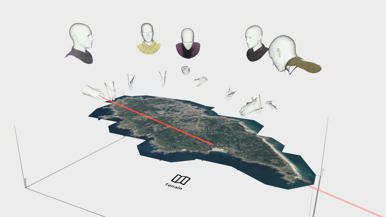
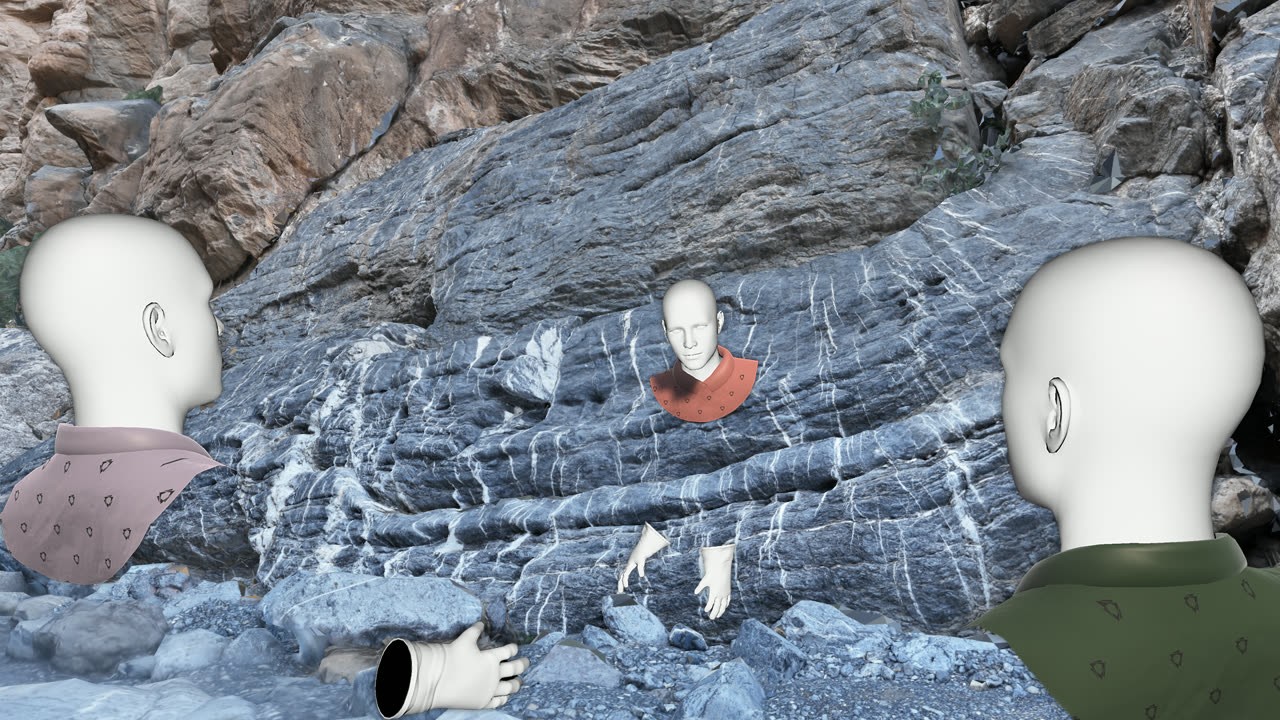
Most 3D terrain tools are built for one person at a time. VRExplorer isn’t. Several people join the same georeferenced scene from anywhere — they see each other move in real time, talk as they go, point at the same feature and measure together, and reach a shared read of the site in a single session, without organizing a field trip.
Everything you need to explore real terrain together
Your own georeferenced data in a shared 3D space, the tools to author and analyze it, and access from both VR and standard screens.
Your real georeferenced data
Import your own 3D field data and digital twins. Every scale, slope and distance stays true to the real world.
Digital twinsMeasurement & drawing tools
Draw points, lines and polygons with automatic area calculation, place them precisely with ground snapping, and capture photos of any view — measure and annotate right inside the terrain.
Measure · Draw · AnnotateScenarios & assessment
Author guided journeys, annotate the terrain, and add knowledge checks to onboard, train and verify understanding.
Built inMulti-user collaboration
Bring several people into the same scene, remotely, to point, measure and decide together in real time.
Real-timeBuilt for massive datasets
Load large terrains and dense point clouds without slowdowns — optimized streaming and caching keep even heavy, high-resolution data fluid.
Large terrains · Dense point cloudsStandalone VR, PC VR or on screen
Use a standalone Meta Quest or PICO headset, a PC-tethered headset, or a standard screen, and mix them all in the same session.
Cross-platformWhat teams do with VRExplorer
Wherever real terrain and field data drive decisions, VRExplorer puts everyone in the same view.
Analyze the geology of a real site
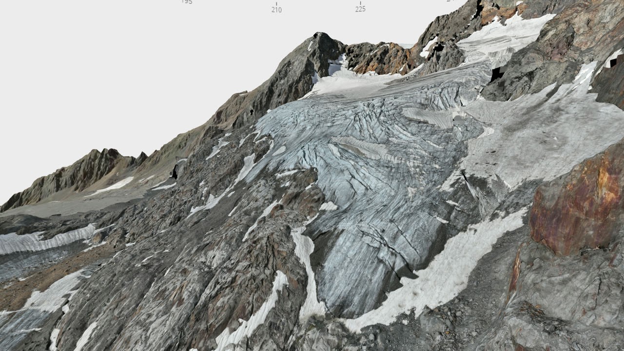
Read landforms, outcrops and structures at true scale to understand a site's geology — exploration ground, deposits and reservoirs, all georeferenced.
Explore hard-to-reach or sensitive sites
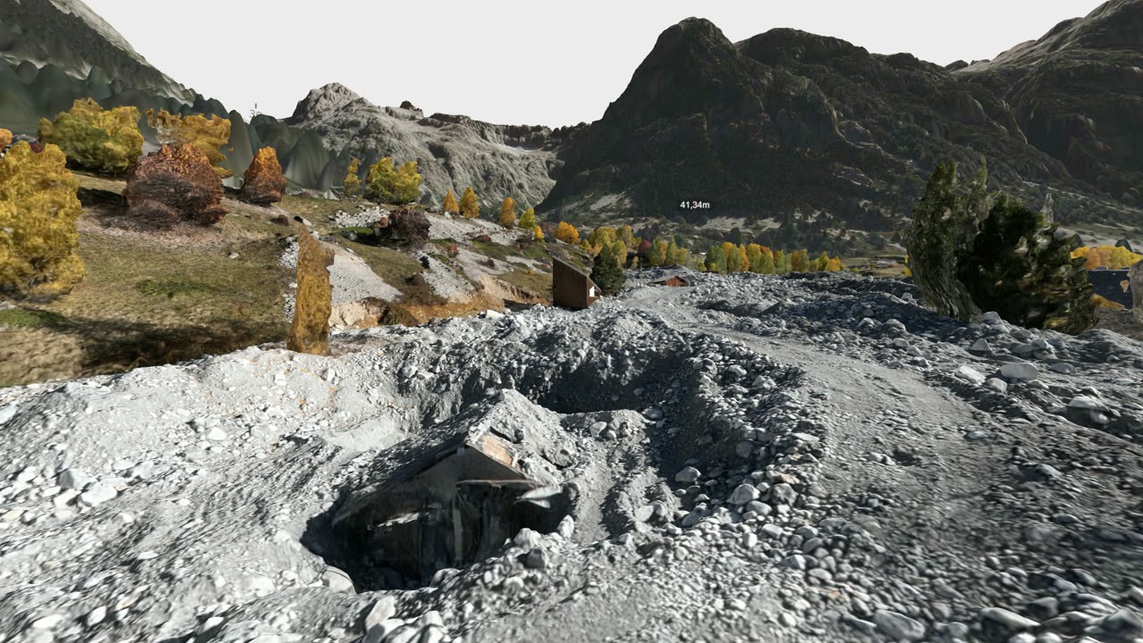
Walk a hard-to-reach or sensitive site at true scale — together, from wherever your team is. Inspect, measure and decide without sending everyone on the ground.
Bring stakeholders inside the site
Take a committee, client or partner into the real terrain. Show what's at stake in 3D and align everyone faster.
Document and preserve heritage sites
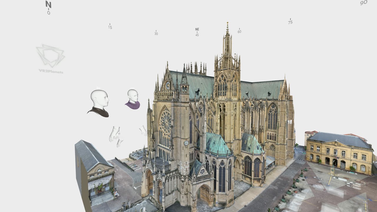
Build a precise, true-scale record of a site as it stands today — annotate what matters and track its condition over time. A lasting digital archive your whole team can revisit to support conservation, study and restoration.
Teach with real-world terrains
Turn genuine terrains into immersive lessons with built-in knowledge checks — and multiply field experience for students, whatever the distance.
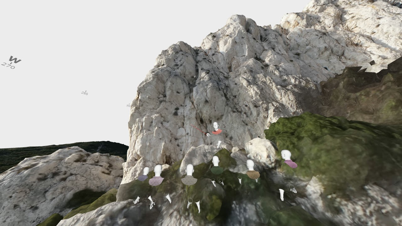
Train field teams on real sites
Bring people onto an accurate replica of a site before they set foot on it — to rehearse operations and run safety briefings, safely and repeatably.
From your 3D data to a shared decision
From the data you capture in the field to a decision your whole team shares — VRExplorer covers the steps in between.
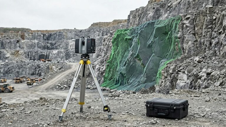
Capture your site, your way
Drone photogrammetry, lidar, terrestrial scanning, existing survey data or open datasets. VRExplorer takes what you already produce.
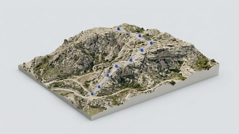
Import into VRExplorer
Your georeferenced data becomes an accurate, true-scale world, ready to enrich with annotations, guided routes and assessments.
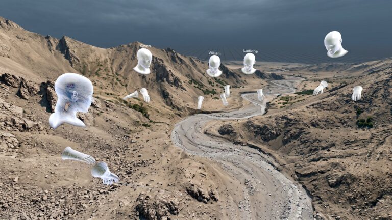
Explore together
Invite your team on standalone headsets, PC VR or screen, walk the site in real time, and make sense of it together.
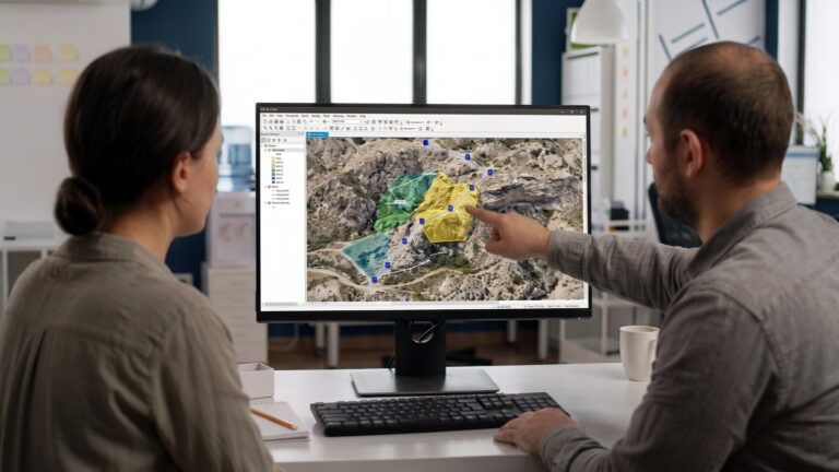
Decide and export
Align your team on a decision, then bring the results straight back into your existing workflow.
Bring everyone in, on any device
Standalone headset, PC-powered VR or a plain screen: VRExplorer is fully cross-platform. Everyone joins the same georeferenced terrain with the same tools — measure, draw, author scenarios and collaborate — and you can mix devices freely in a single session.
 New
New
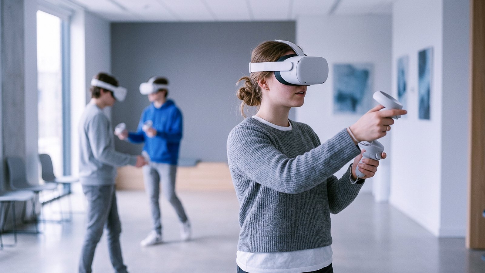
Standalone VR
No PC needed, just a standalone headset. Ultra-portable: carry the terrain to a classroom, a meeting or the field.
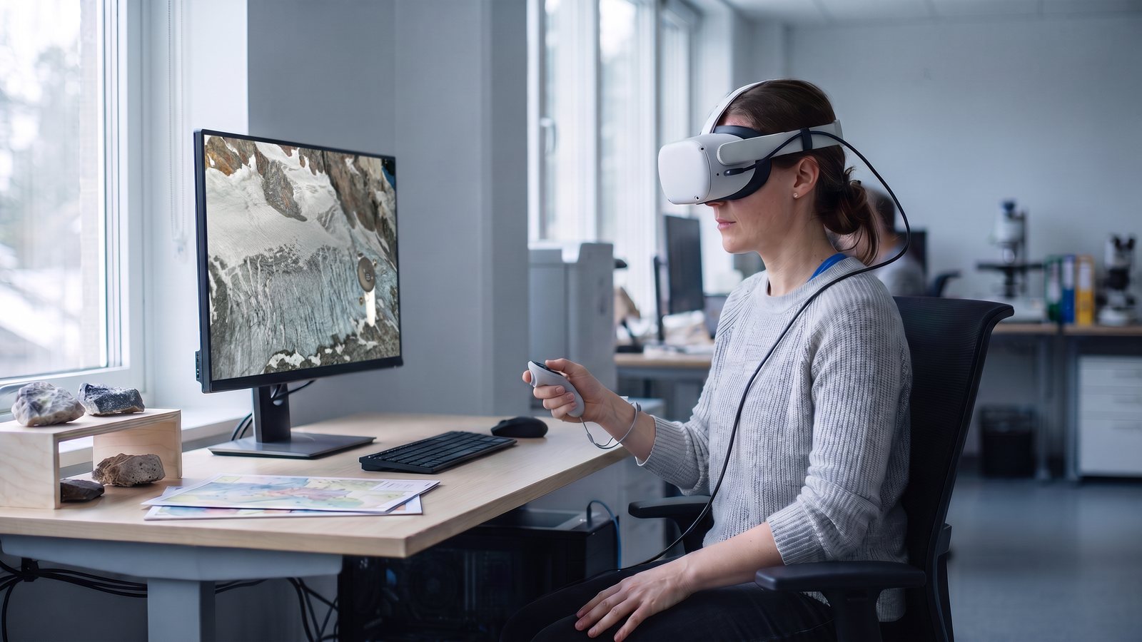
PC VR
Uses the full power of your workstation for your most massive datasets.
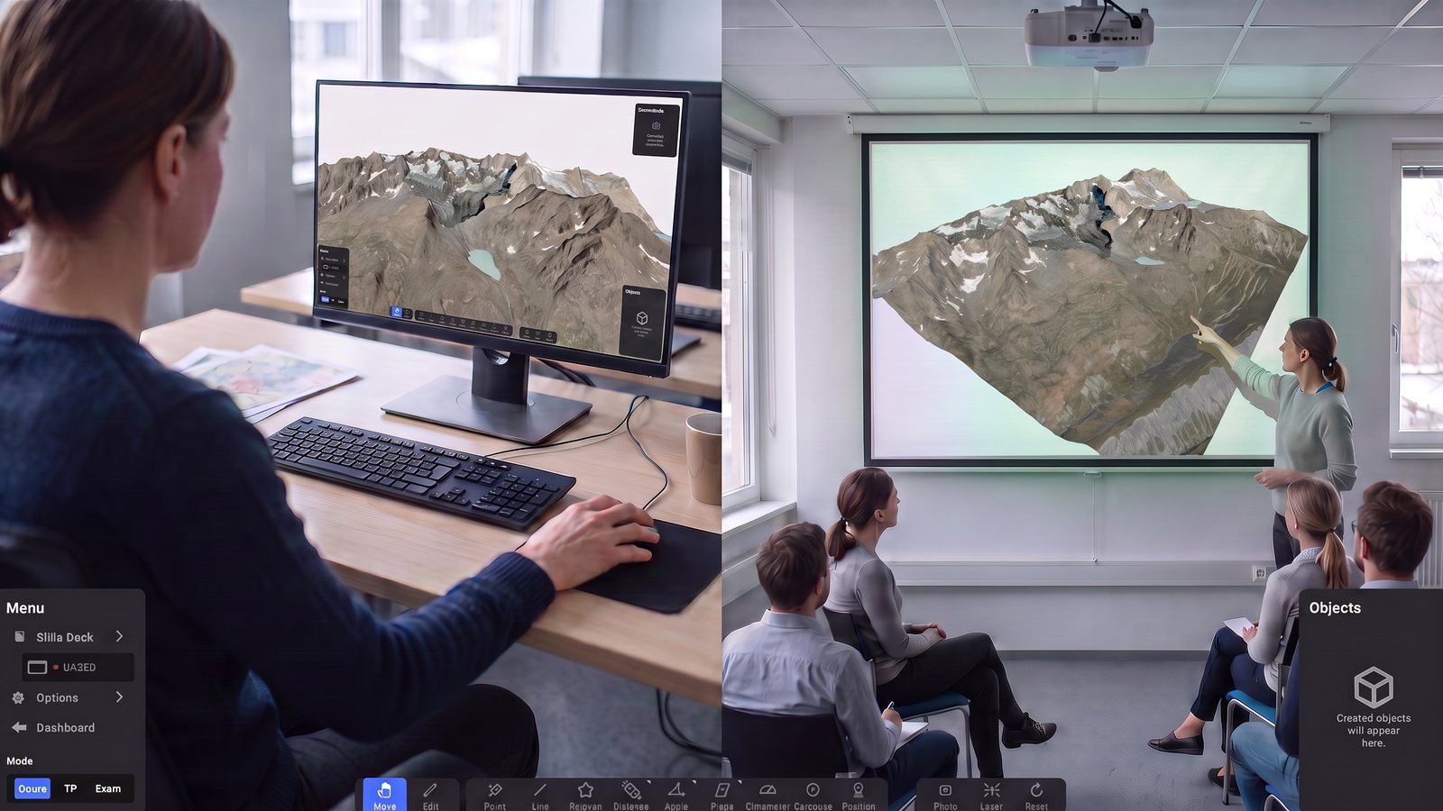
On screen
Everyone already has one. The simplest setup to bring the whole team in.
Whichever device you use, all it takes is an internet connection.
















See VRExplorer on a terrain that matters to you
Tell us a bit about your project and we'll run a live session on a relevant site — tailored to the data and terrain you actually work with.
Request a demo
Thanks!
We got your request. We'll reach out shortly.
Keep up with VRExplorer
See what's new in each release, and get the next updates straight to your inbox.